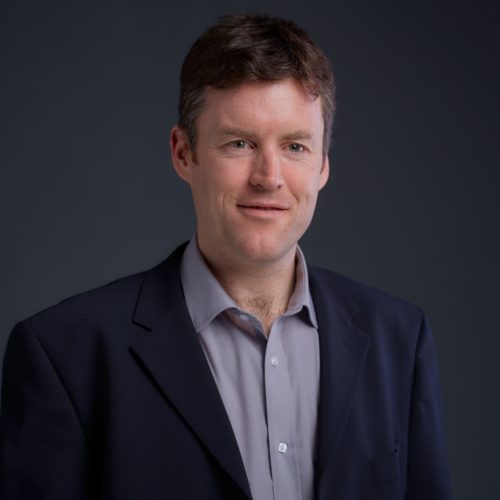
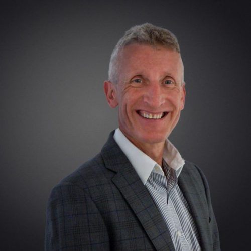
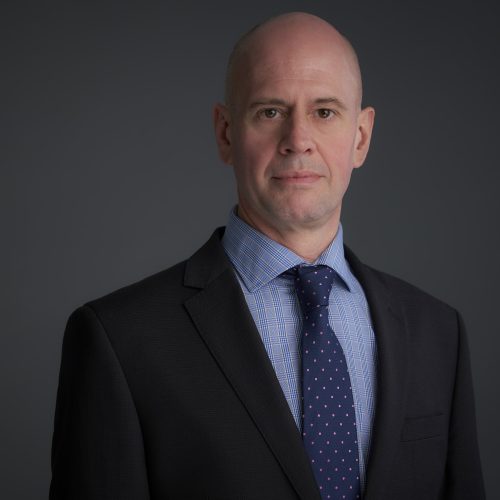
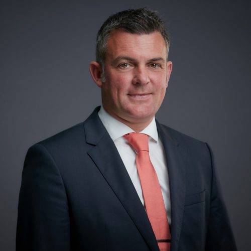
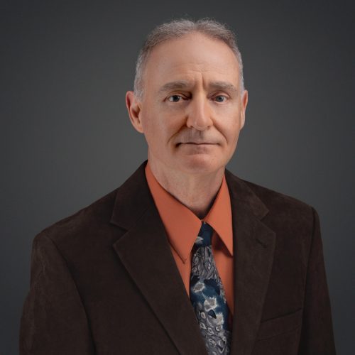
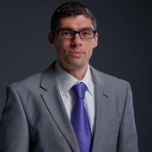
Mark Lawrence
Consultant - 3D Geospatial Data
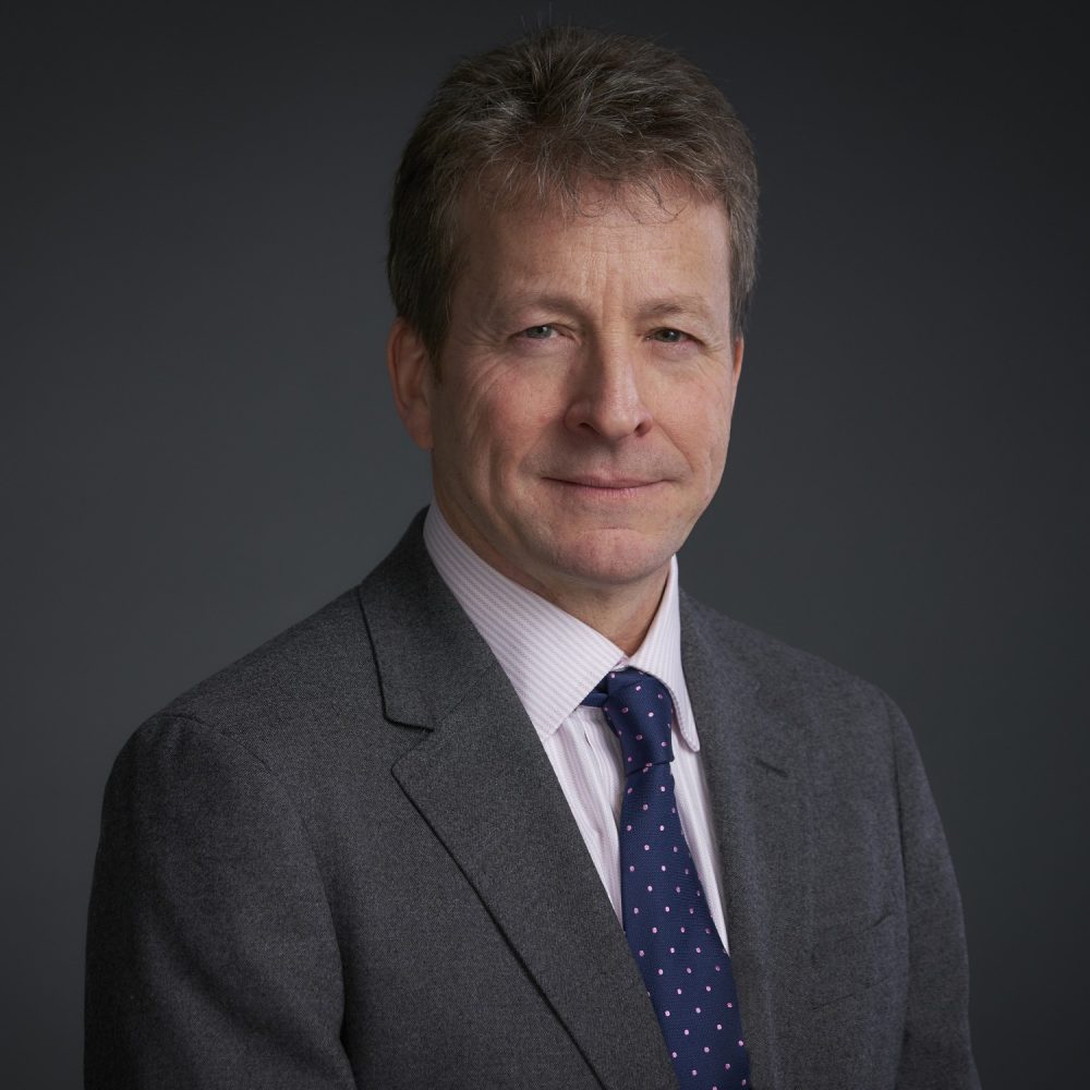
Mark began his maritime career as a commercial diver and following a MPhil at the University of St Andrews, became a professional maritime archaeologist. He has over 25 years’ experience in maritime related industries mainly with salvage and wreck removal, offshore renewables, oil and gas, defence and maritime archaeology.
- Maritime Archaeologist
- 3D Subsea Visualisation
- Maritime Digitalisation
- Marine Forensics
Following an MPhil in Marine Archaeology from St Andrews University, Mark worked for the first part of his career as a professional marine archaeologist on submerged historic sites in the UK, the Mediterranean, the Baltic and off the US and Australia. In the UK, Mark worked under contract to the Government’s Department for Culture, Media and Sport in support of the Protection of Wrecks Act 1973, focusing on the use of remote sensing equipment to visualise historic wrecks subsea.
In 2005 Mark co-founded Advanced Underwater Surveys Ltd. (ADUS) which specialised in 3D subsea visualisation of shipwrecks.
Originally with ADUS, and now as part of the Waves Group, Mark has undertaken extensive work assessing potentially polluting wrecks (PPWs) including the Liberty ships Richard Montgomery off Sheerness and the Newhall Hills off the coast of Kent (on behalf of the MCA), the Royal Oak in Scapa Flow, the wrecks of the tankers War Mehtar, and the Derbent off the UK Coast (on behalf of SalMO, UK MOD), and the wreck Simson on behalf of the Finnish Environment Agency (SYKE) in the Baltic. Mark also provided the 3D survey data for the pollution risk assessment of the Russian Nuclear submarine B159 which was lost in 2004 in the Barents Sea, as part of a joint Russian Federation/ UK MOD project.
For both the original Richard Montgomery and Royal Oak surveys back in 2006, Mark and the ADUS team were credited with producing groundbreaking high resolution 3D visualisations that set the industry benchmark for all subsequent wreck surveys, and which were instrumental in providing the necessary information required for pollution risk assessment.
Mark has been involved in other notable high-profile wreck surveys including the sunken Deepwater Horizon oil rig in the Gulf of Mexico, on behalf of the rig’s owners Transocean, which lies at a depth of 5000ft and a full 3D visualisation of the parbuckled Costa Concordia in Italy using both sonar and blue laser (subsea) and mobile laser (in air). Other surveys have included the B159 Russian nuclear submarine in the Barents Sea, the wreck of the Oliva off Nightingale Island, Tristan da Cunha, and the wreck of the Rena in New Zealand. Mark has provided a series of high resolution 3D interactive surveys of the Baltic Ace wreck in the North Sea for Rijkswaterstaat and have produced a full 3D visualisation of the wreck of the ferry Sewol off South Korea to assist the planning of its recovery.
Most recently Mark has been working with colleagues at Waves Group in the development of pollution risk assessment methodologies for PPWs, and has been combining MBES and Photogrammetry data with 3D solid models of 12 wrecks (USA, Japan) sunk during the atomic testing in Bikini Atoll in 1946.
Wreck Surveys – Extensive experience in the acquisition and processing of high-resolution 3D geospatial survey data (including MBES, laser and photogrammetry) to assess vessels and wrecks and the processing and merging of acquired real-world datasets with solid modelling within 3D GIS to assess structural condition and pollution risks. Use of non-intrusive (e.g. neutron back-scatter) sampling techniques to assess oil volumes.
Project TANGAROA – Programme Co-Lead for the cross-industry collaborative project to produce a global framework for the near and long term assessment, intervention and sharing of data on PPWs
Waves Group Personnel

